

- Joined
- Nov 5, 2015
- Messages
- 67
- Reaction score
- 5
- Age
- 47
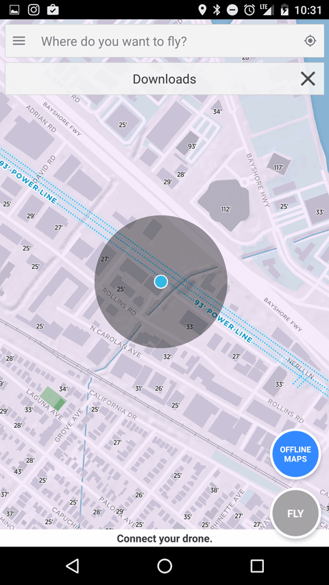
Works exactly like offline Google Maps, yet provides you with 3D map data perfect for flying your drone.
- Currently Android only, if you want the iOS version you can sign up for the beta here
- Intelligent Elevation data available everywhere in the US
- Terrain view and Satellite view available
- Obstruction highlighting in California. Watch demo.
Last edited:


