- Joined
- Mar 30, 2015
- Messages
- 224
- Reaction score
- 91
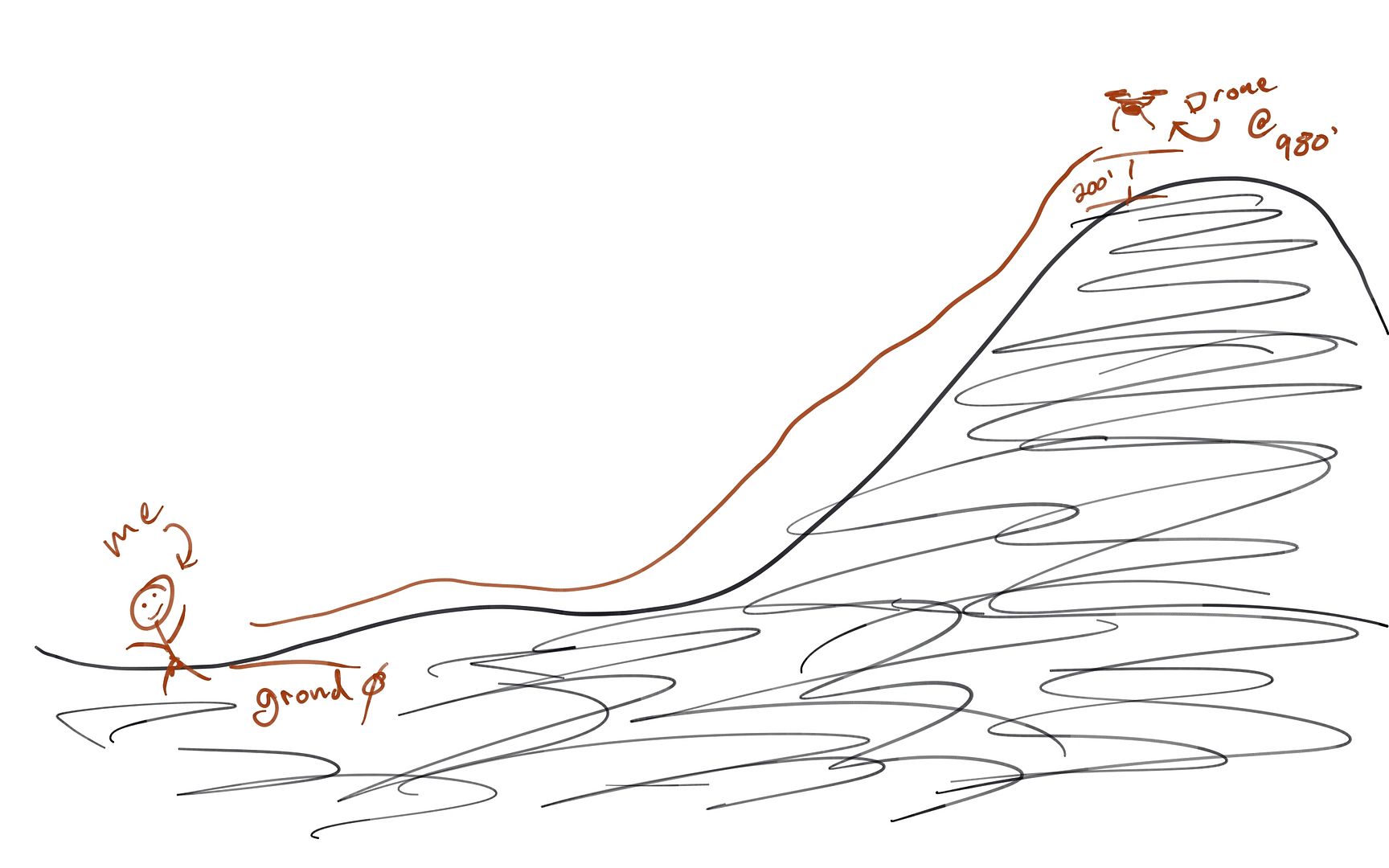
I'm assuming that the altitude displayed on the DJI go app, is the altitude above the ground from my takeoff point (homepoint).
1) If I take off from the homepoint and rise to an altitude of 10 feet, and fly away in horizontal distance of 100 feet, my phantom will still be 10 feet off the ground.
2) Assuming I continue the flight out to 200 feet without increasing the altitude, and I fly toward a slight hill (5 ft elevation change), would I hit a 6 foot high tree ???
3) In other words, the displayed altitude on the app, is only relevant to the take-off height, once you are at any distance from home, is there any way to know what altitude you are above ground ?