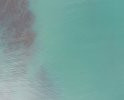
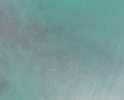
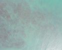
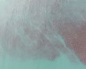
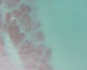
Hi! I'm fairly new to drones, having recently gotten my hands on a Phantom 4. I'm hoping to use the multispec sensor to do some surveys of a coastal zone at low tide in order to map kelp. I've done a test survey, but Agisoft Metashape is really struggling to align photos covering shallow water - the submerged kelp forests are clearly visible, but the sun glint/glare is messing up alignment and masking them.
Does anyone have any tips and tricks for doing shallow water surveys? I've done some googling and am wondering about maybe using a polarising filter for future surveys, although I can't find any for the multispec sensor I use. Would appreciate any advice on processing/cleaning/filtering the imagery as well when trying to make an orthomosaic - at the moment mine is pretty much just the exposed intertidal zone, almost none of the water imagery has made it.
I've attached some example images of the kelp.


