- Joined
- Sep 27, 2022
- Messages
- 5
- Reaction score
- 0
- Age
- 47
I am looking at purchasing a Phantom 4 RTK SE drone for my work. I have tried to contact DJI customer service and that has turned into a joke because no one will talk with me because I don't own a drone yet. I hope some of you will be able to help me decide which Phantom drone to get. I work at a University for the facilities group. My supervisor would like a drone that can be used for external building inspections. In addition we would be using it for video footage for advertising as well as pictures to add to time lap footage of new buildings as they are built. I know that the Phantom can do all of the above but the question that has been asked of me that I can't get an answer for is this... Is it possible to program in specific GPS coordinates and altitude so that the Phantom drone can go to the same place each time to take a picture of a specific item? I know that you can set way points while the drone is active but is there a way to save those points and have them recalled again at a different time? Can you take the information from an image and somehow load it back into the Phantom so that it will return to the same spot and height so we could take a picture over multiple weeks and months?
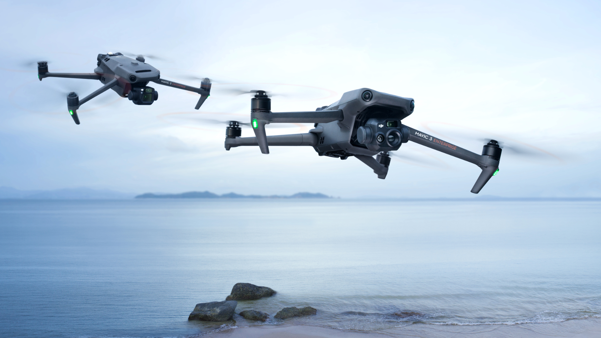
I am only looking at the Phantom 4 RTK SE because it looks like it would give me better information about location and altitude for record keeping. Would the Phantom 4 work just as well? Would I need to pick the Phantom 4 Pro to get it to do what I am wanting? These are all the questions I have been trying to ask DJI but they aren't willing or able to give me that information. I know that the DJI Matrice 300 RTK has something called Smart Inspection which does do what we are looking for but I can't justify spending $14k on a drone for basic exterior building inspections. That is why I am looking at the Phantom and seeing if we can get it to do what we are trying. I appreciate any feedback that you are willing to give. I have also looked at the DJI Mavic 3 Enterprise because it comes with an infared camera which might help for inspections. Does anyone have any experiance with that model and would it be able to do what I am trying to do? Thanks for any help you are willing to give.
I am only looking at the Phantom 4 RTK SE because it looks like it would give me better information about location and altitude for record keeping. Would the Phantom 4 work just as well? Would I need to pick the Phantom 4 Pro to get it to do what I am wanting? These are all the questions I have been trying to ask DJI but they aren't willing or able to give me that information. I know that the DJI Matrice 300 RTK has something called Smart Inspection which does do what we are looking for but I can't justify spending $14k on a drone for basic exterior building inspections. That is why I am looking at the Phantom and seeing if we can get it to do what we are trying. I appreciate any feedback that you are willing to give. I have also looked at the DJI Mavic 3 Enterprise because it comes with an infared camera which might help for inspections. Does anyone have any experiance with that model and would it be able to do what I am trying to do? Thanks for any help you are willing to give.