At the moment, you can add an RTK (really PPK, but essentially the same for this discussion) to a Phantom/M200/M600/Inspire for about $6,000. This might seem like a lot, but in terms of a precision mapping instrument, it's fairly cheap. So, with an
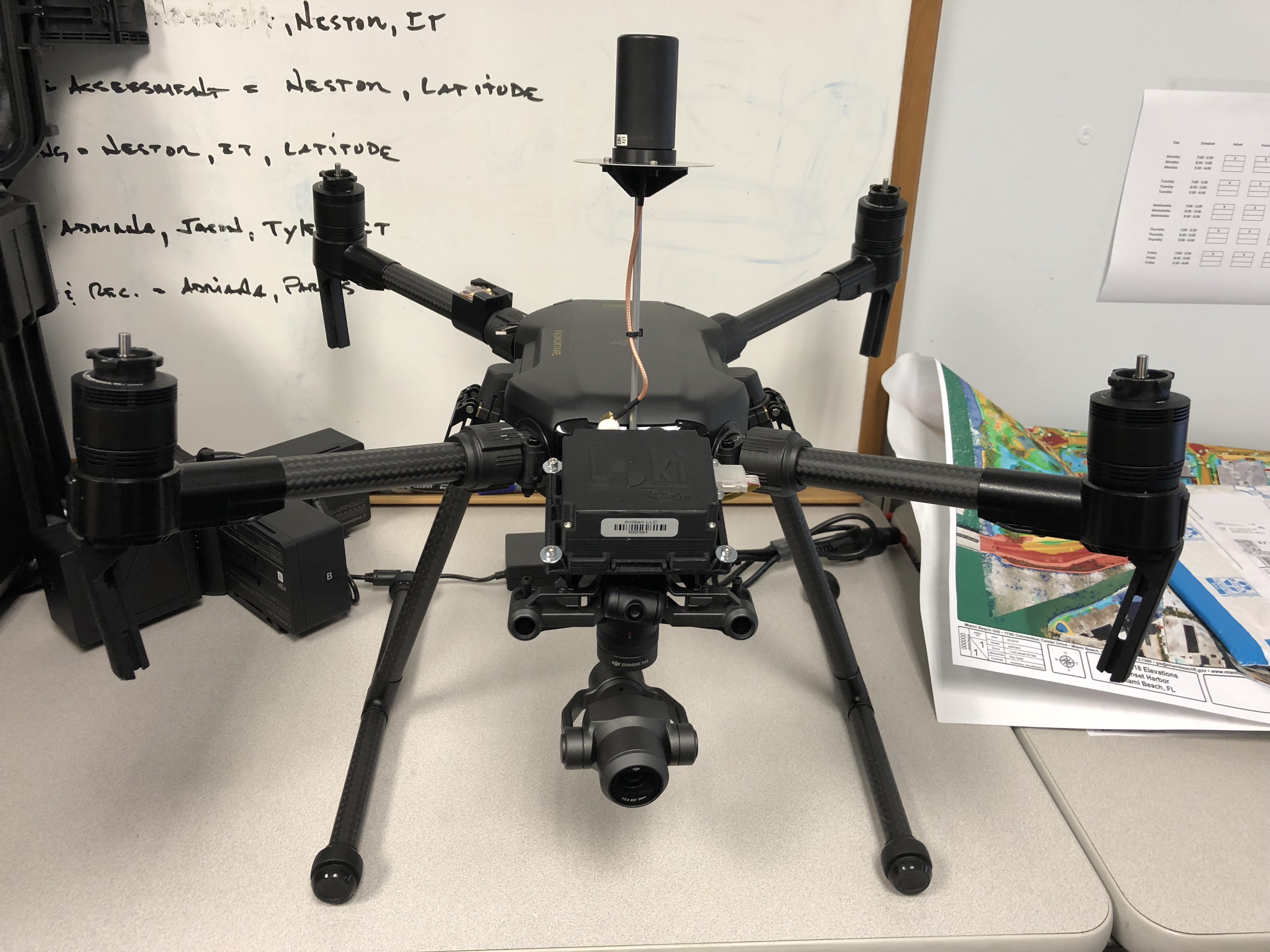
AirGon Loki and a
P4P, you're looking at about $8k. I would imagine that DJI would have to beat that price AND include the post-processing software to be competitive. There's also the
Klau for $12k-$15k.
Those of us that are in the mapping industry were really excited about the M210-RTK, but it doesn't allow for precise geotagging of the imagery, which is what we need for accurate mapping. It gives precise location data, but only in a relative sense and not to a base station.