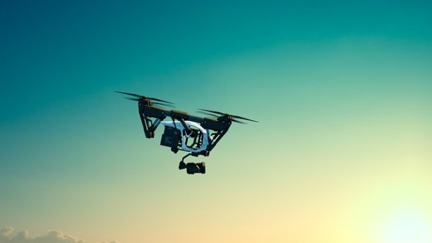
I'd like the government to actually tell us what 'data' the drones are stealing? are they identifying locations of airbases? are they identifying the location of nuclear facilities? are they identifying the locations of missile locations, government locations? This information is published by our own government, the information is available in Section Charts for Pilots Identified as No Fly Zones, this information is available in old paper Road maps, this information is available with pictures on google maps. If the Chinese want to know where are troops are in Afghanistan they just have to search our troops Facebook pages or Instagram feeds. I am sure we will find after the a deal is reached with China that these DJI drones are no longer a threat. Additionally the Chinese have state of art satellite system to fill in any of the missing pieces.