Flights in the Arctic and from a ship

Joined
Jun 28, 2016
Messages
197
Reaction score
54
Age
66
Location
Alexandria, Virginia
Website
fishcrow.com
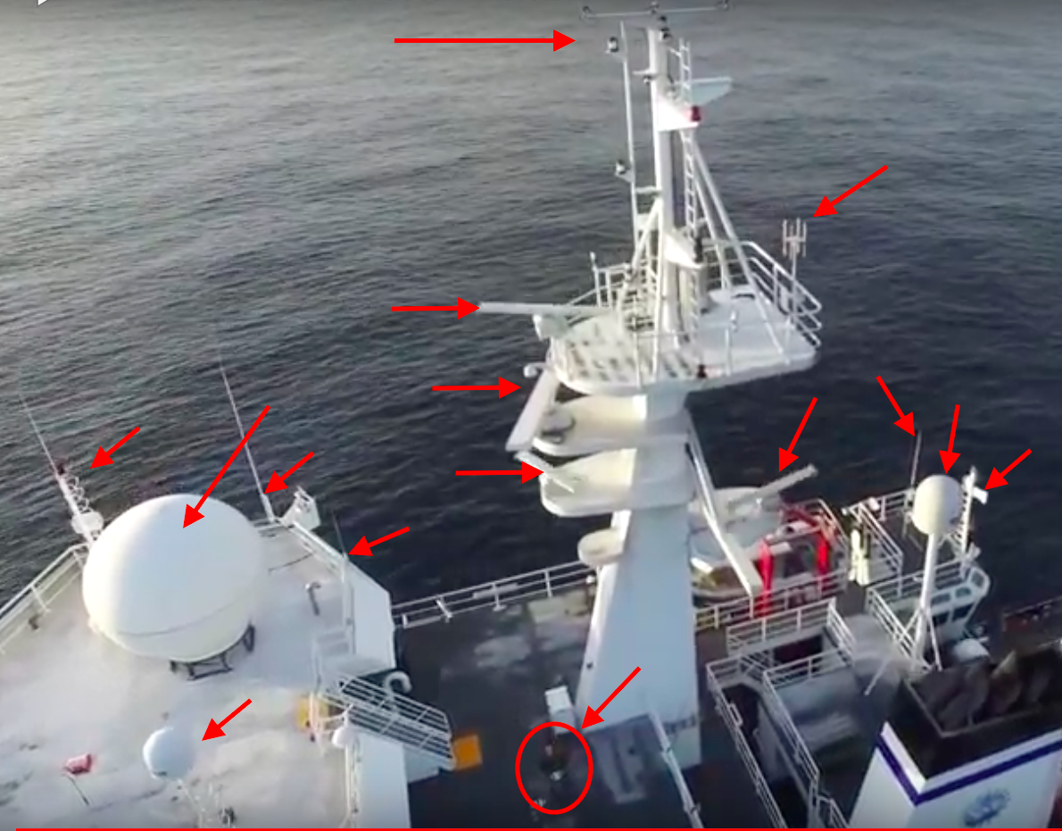
Some information is posted here on flights with a DJI Phantom 3 Pro before, during, and after a sea trip in the Arctic. I was concerned about the effect that cold weather might have on the batteries, but that didn't seem to be a problem. I did a few flights just before the start of the trip. During a flight outside Nome, I just wanted to take it up and pan around for a look at the tundra. All seemed to be going well until it went into Atti mode and started flying off with a light breeze (which may have been a bit stronger 120 meters up). I was able to bring it back with no problem. I also did a flight a short distance out over the water to get some footage of Nome, and that went well. I had dreams of sending the drone up as we passed through the Bering Strait and panning around for views of the U.S. and Russia, but it was overcast and windy. The wind was nearly constant and often very strong while we were on the Arctic Ocean, but I did two flights on a calm day a little over 100 miles to the NNW of Barrow. Due to magnetic fields on the ship, I was unable to calibrate the compass, but I wasn't about to take the drone all the way up there and not give it a try. I had an extra drone and decided to give it a go. There didn't seem to be any problem during the first flight, but I was very cautious and didn't fly very high or far from the ship. It went into Atti mode during the second flight, and the wind picked up a bit. It was challenging to compensate for the wind and bring it in for a landing. During my test flights on land, I would usually bring it back to a position above and then bring it straight down. I spent a lot of time practicing that approach. It wasn't until I tried the drone on the ship that I realized this is not a good approach at sea. I was unable to bring it overhead and then compensate for the wind while bringing it down. So I brought it in horizontally. That was working fine until it got to just within reach. Anyone who has spent time on the deck of a ship will know that there can be large variations in the wind as you walk around a corner (e.g., from the lee side of the bridge). The drone was almost within my grasp when it got caught by a small gust of wind that caused it to go off to the wide. A few props were broken when they hit a wall, but I was fortunate that there was no other damage. I did another flight when we reached Dutch Harbor, where it once again went into Atti mode. I don't know if this was due to cloud cover or the latitude, but Dutch Harbor is well below the Arctic Circle. One of my main objectives was to fly the drone over sea ice, but we had high winds on the only day that we were in the ice.
 
...it went into Atti mode...Bering Strait and panning around for views of the U.S. and Russia...magnetic fields on the ship, I was unable to calibrate the compass...went into Atti mode

I wonder if your difficulties were due to a) bad compass calibration, b) wind c) jammed GPS at the U.S. - russia border.
 
Thanks for the inputs. The compass calibration failed on the ship, but would that cause it to go into Atti mode? The flights from the ship were at about 72 degrees north. That's way up there but still a long way from the pole. I doubt that the Russians were jamming us. If that had been the case, it would have affected the ship's GPS. It went into Atti mode on the flight from the ship when the sky was clear. The other flight from the ship went well earlier that day when it was overcast. Another possibility could be auroral activity, which was heavy (and quite spectacular on some nights) in Nome and in the area where I did the flights from the ship. The aurora isn't visible during the day, of course, but it could be that activity picked up during the second flight that day. Dutch Harbor is well to the south. I am guessing that it went into Atti mode during that flight due to the thick cloud cover. Before all flights, the home point was established. So the GPS signal was good at first. I knew it would be risky to fly it in the Arctic, but I was willing to take that risk in order to get some interesting footage up there. I was fortunate that the only losses were a few props.
 
besides all the "issues" you had, do you have any videos of the trip you can share? I would love to see footage ...
 
72 degrees north...I doubt that the Russians were jamming us...auroral activity

I live only at 63 degrees North and GPS has been very good -- how far up/down does it get unreliable? We only occasionally see auroras here but that might another explanation besides the russians :-|
 
I don't know - all I know is it says

The flight control system will not work properly at the South pole or North pole.

maybe you guys can figure it out and get back to us... :grinning:
 
The compass calibration failed on the ship, but would that cause it to go into Atti mode?
Trying to calibrate your compass on a big steel ship is a big no-no and just asking for trouble.
No it won't cause the Phantom to just go into atti mode.
If successful, it would calibrate the compass to the distorted magnetic environment close to the ship but be impossible to fly a little further away.
All seemed to be going well until it went into Atti mode ...
It went into Atti mode during the second flight ...
I did another flight when we reached Dutch Harbor, where it once again went into Atti mode. I don't know if this was due to cloud cover or the latitude, but Dutch Harbor is well below the Arctic Circle.
Your GPS issues had nothing to do with latitude or cloud cover.
And it had nothing to do with GPS jamming as suggested by someone.
Your Phantom will drop into atti mode if there is a conflict with compass and GPS data.
This is often caused by a bad compass calibration.
If you want to understand what was happening you can always
Go to https://www.phantomhelp.com/LogViewer/Upload/
Follow the instructions to upload your flight record and see the actual flight data.
 
  • Like
Reactions: BoydBros
all the antenna transmitters and receivers ... lots of traffic/interference, not including that giant metal ship, and this phantom still flies ... awesome ...
Thank you for pointing this out. I was, of course, aware of those transmitters and receivers, but I didn't figure they would be using the same frequency band as the drone or that all of them would be transmitting all the time. It's a good thing that you didn't draw my attention to this before I made those flights. That factor combined with the problems with compass calibration might have been enough to cause me to keep the drone grounded while at sea.
 
  • Like
Reactions: BoydBros
all the antenna transmitters and receivers ... lots of traffic/interference, not including that giant metal ship, and this phantom still flies ... awesome ...
Only devices that transmit could create any interference. Receiving antennas are passive and no threat at all.
The actual sources of potential interference would just be a radio antenna or two and the radar units.
But as long as you are not flying up close to them they aren't going to interfere anyway.
I've flown close to many ships without any interference problems: Shipping - Above & Beyond Photography

I was pointing out all the possible sources of interference, that is all.

Flights in the Arctic and from a ship
 

Members online

Forum statistics

Threads
143,066
Messages
1,467,354
Members
104,933
Latest member
mactechnic