G'day from NSW Australia.
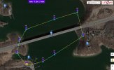
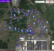
I have been asked to conduct monthly flights over a new development of approx 20ha (50ac) for 24 months.
The client is asking for a video to track changes over time.
I have used Pix4D in the past to map and produce orthos etc using stitched still images to good result.
I just don't know any apps that offer video as an option for capture particularly where the same route is to be flown each time.
I have not touched Litchi, would this be a reasonable option?
I look forward to you help and direction
Also an idea of what to charge would be nice as well (estimate 1hr mth on site and 1hr travel)
Machine is a Phantom4 Pro v2 and backup is Mavic Air.
Thanks
Michael
Last edited: